Win3D
- Preparation
- Technical
- Netherlands
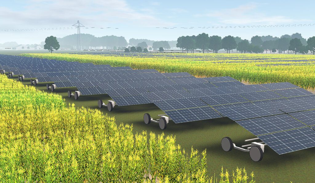
Win3D is an interactive geographical design tool that facilitates the visualisation of entire municipalities and provinces in 3D and allows the placement of wind farms and solar parks on these landscapes to assess their impact on the surroundings and the living environment.
Win3D has realistic 3D models of diverse wind turbines from almost all manufacturers, which enables the analysis of the impact of different wind turbines. Different versions of solar fields and parks, including moving solar panels, are also available.
The tool has been designed to involve promoters, citizens and policy makers in the initial stages of wind and solar park planning. By offering clear visualisations and transparent insights during the design phase, it fosters informed discussions. Its principal application lies in exploring potential new wind farm locations, devising wind farm layouts, and evaluating novel initiatives.

Explore related resources
Questions about your energy community?
Whether you don’t know where to start from or you are stuck with a specific issue in the development of your energy community, an expert can help you.
